When we got back home, I put the groceries away while Steve worked on his map of the area where he will be hunting. He had printed off detailed maps of the area from our Backroads Map program and was patiently cutting each out and placing them together...a big job that will continue after we finish with our afternoon plans.
 We are going to the Creston Valley Wildlife Area & Interpretation Centre http://www.crestonwildlife.ca/habitat/description. The Creston Valley Wildlife Management Area covers 7,000 hectares (17,000 acres) of provincial land, or an area that averages 20 km (12.4) miles long by 3.4 km (2.1 miles) wide. It consists of one lake (1,500 ha or 3,700 acres) and 17 marshes plus a major river and adjoining mountain slopes. The marshes form a valuable link in a chain of wetlands stretching from the Arctic Ocean to California. It is a short drive west on highway 3...about 11 kms...we arrived there just before 1:30. After going into the Interpretation Centre and talking with the attendant, we paid our $4 each to go on one of the many hiking trails. We chose the Marsh Trail. Here are pictures of our walk...


We were disappointed that the trail didn’t go a little closer to the actual water where the birds are so that we could have gotten better pictures...


This is the Interpretation Centre with the red roof...


What an interesting tree...


Although not on the Marsh Trail, we decided to go to this lookout...the trail took us under the highway (bridge)...

And this is the view from it...


There must be a forest fire burning somewhere south...perhaps in Idaho because it got very smoky towards the mountains...


 It was 3:30 by the time got back to the Interpretation Centre...a good 2 hour walk that was actually difficult to walk on due to the uneven grassy field that the trail was carved out of. Nonetheless, we had a good walk. We went inside the Centre and took a look around...


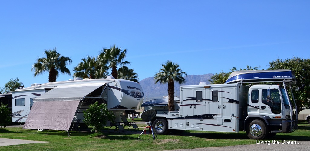
We were back home just before 4pm...time to set the chairs up in some sun...a bit of a challenge considering our side of the site is in shade, but we found a small area where the sun can sneak through. We sat outside for about an hour and then decided to head inside where Steve decided to continue working on his “map” project while I downloaded an update for our GPS and then posted a couple of more days on our travel blog...almost caught up!
After dinner, we had our usual evening. Just before bedtime I was cruising around the internet and thought I would go on the RCI website...that’s when I discovered that for some reason the reservations I had made at one of the resorts we plan on staying at in Cabo San Lucas had been cancelled...WHAT??!! I am hoping that there is just a mistake on the website...but it was too late to call them tonight. I’ll be on the phone first thing in the morning!
Great Photos...Nature is Amazing!!!
ReplyDelete